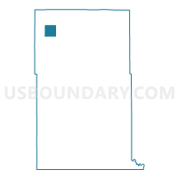
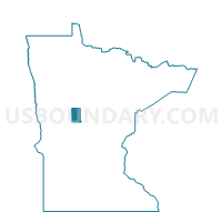
Menahga Voting District, Wadena County, Minnesota
About
Outline

Summary
| Unique Area Identifier | 604726 |
| Name | Menahga Voting District |
| County | Wadena County |
| State | Minnesota |
| Area (square miles) | 3.89 |
| Land Area (square miles) | 3.70 |
| Water Area (square miles) | 0.19 |
| % of Land Area | 95.01 |
| % of Water Area | 4.99 |
| Latitude of the Internal Point | 46.75369720 |
| Longtitude of the Internal Point | -95.10286390 |
Maps

Graphs
Select a template below for downloading or customizing gragh for Menahga Voting District, Wadena County, Minnesota